

October the 11th, 2026 – A Croatian geophysicist has explained what sort of winter awaits Croatia this year as what is perhaps the strongest El Niño takes hold.
The well known climate phenomenon El Niño is rapidly strengthening and could become the strongest since measurements began. Index reports that according to the latest forecast by the World Meteorological Organization (WMO), the peak is expected to arrive in December, and it’s almost certain that El Niño will last until February next year. Croatia could, as a direct result, expect an above-average warm and rainy winter.
Academician Mirko Orlić from the Department of Geophysics of the Faculty of Science in Zagreb explained for Dnevnik Nova TV what the strengthening of this phenomenon could mean for Croatia and warned about the combination of an extremely warm Adriatic and atmospheric disturbances.
croatia can expect an above-average warm winter
“We have two sources of information. One is what happened during previous similar El Niños – and three such have been recorded since the middle of the last century – and each time it was above-average warm. Second, the models that provide seasonal forecasts show the same: it will be above-average warm. Therefore, that is realistic to expect,” Orlić said. El Niño occurs when the surface layer of the sea in the central and eastern part of the equatorial Pacific warms above usual values. This changes atmospheric circulation and weather patterns around the planet and in certain regions increases the risk of droughts, floods and extreme temperatures.
According to the WMO, the average deviation of the sea surface temperature in the key Pacific area during the period from October to December could reach 3.7 degrees above normal, which would surpass the previous record.
a warmer adriatic could increase precipitation

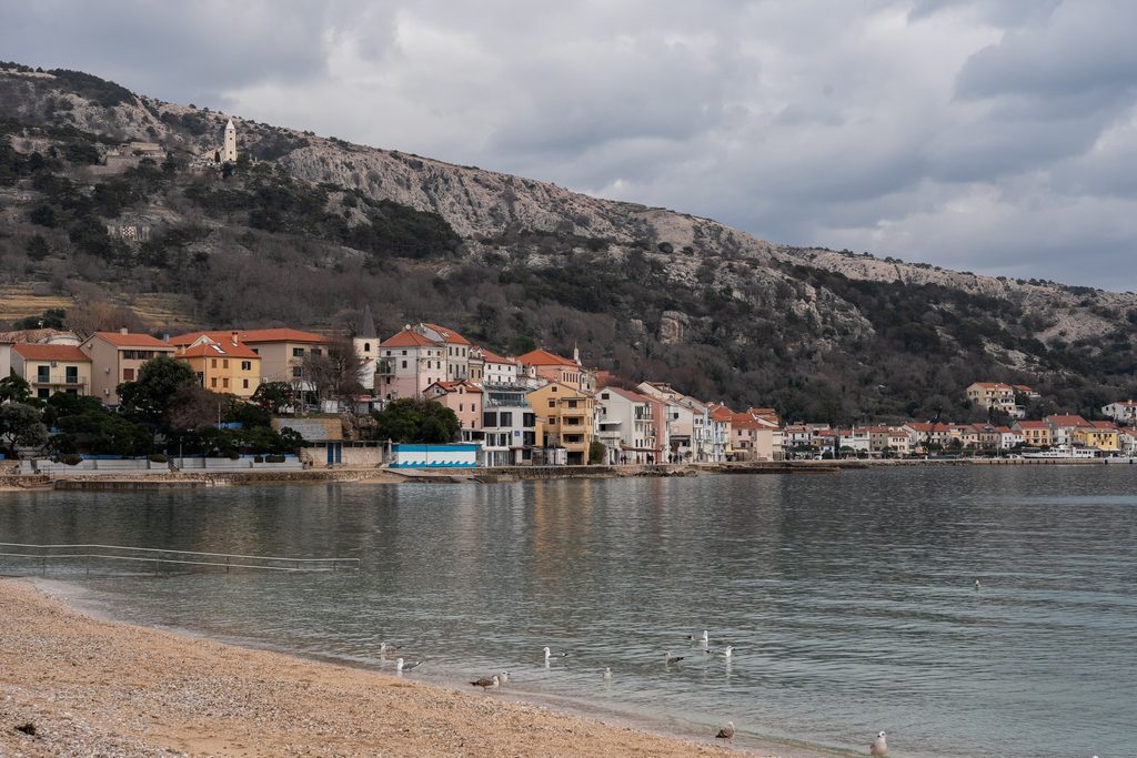
Orlić warned that the winter in Croatia could also be above-average when it comes to rainfall. A considerably warmer Adriatic Sea plays an important role in this.
“Both sources of information, previous cases and forecast models, say that it will be above-average wet, with above-average amounts of precipitation this winter. But there is also another reason – the exceptionally warm sea. This summer on the open Adriatic we recorded temperatures of 28 and 29 degrees, that is, significantly higher than the usual 27 degrees back in August,” he said. He explained that the sea has accumulated a large amount of heat, which can contribute to strong atmospheric instabilities when colder and moist air arrives over the area. “If moist and cold air arrives over such a surface, that is a real recipe for great instability and heavy precipitation,” Orlić warned.
Weather conditions in Croatia will not be influenced only by El Niño. Orlić also warned about processes in the Arctic, where warming is more pronounced than in the rest of the world. Due to the reduction of the temperature difference between the Arctic and the equator, patterns of atmospheric circulation can change, including the position and waviness of the jet stream, which plays an important role in shaping the weather over Europe. “Figuratively speaking, this winter above our heads we’ll have a battle – El Niño on one side and Arctic processes unfolding on the other. If El Niño prevails, the changes will probably be milder and will alternate more quickly. If the Arctic processes prevail, the disturbances will be greater and will pass more slowly,” he explained.
potential food production disruption
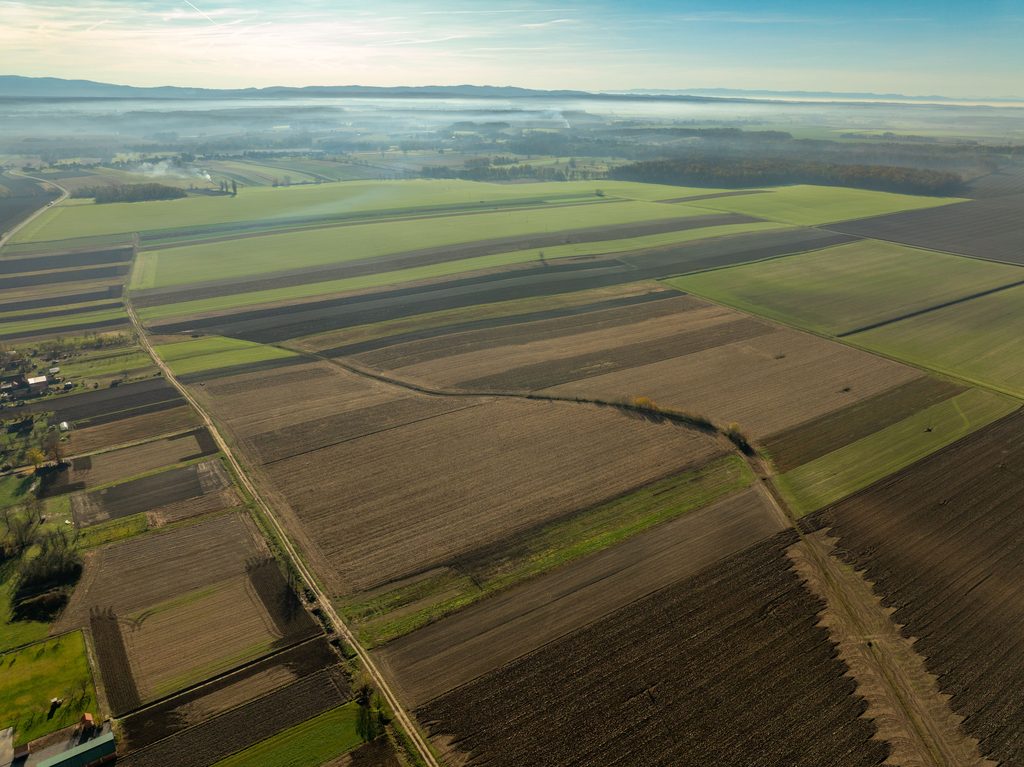
A strong El Niño could also have consequences for world agriculture because it changes the distribution of precipitation and increases the risk of droughts in certain production regions. Orlić recalled the previous El Niño from 2023 and 2024, when a weaker cocoa harvest contributed to a large rise in chocolate prices.
“Since this El Niño is significantly stronger, it’s only logical to expect disruptions,” he concluded. Nevertheless, seasonal forecasts do not mean that every part of Croatia will have an equally warm and rainy winter, nor do they enable reliable prediction of individual storms or floods several months in advance. They indicate an increased probability of certain weather patterns, and their development will also depend on other atmospheric factors.