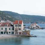
The interesting series of articles published at the Dalmatinski Portal about ancient fortresses continues – conservator Ivan Alduk writes about the interesting Topana Fortress in Imotski. Read the whole article here.
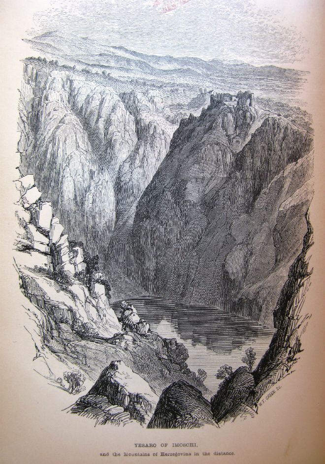
The Topana Fotress lies high above Imotski. The Byzantine emperor Constantine Porphyrogenitus mentions Imotski county in the mid of the 10th century as one of the eleven Croatian counties and its fortress above the gorge of the Blue Lake as its centre. During the works on the fortress in the 1980s, a stone pillar with early mediaval pattern from the 9/10th century was found – now kept at the Homeland Museum in Imotski.
The central and the highest part of the fortress was built during the 13th and 14th century, when the nobel families Nelipić and later Kosač were ruling this area. From that time, until the 18th century, the fortress undergoes a number of alterations. Imotski came under the Ottoman rule already in the 15th century and the fortress became the residency of the Kadi – a judge and a civil governor of a wider area. After almost 230 years of the Turkish rule, the fortress becomes a Venetian territory. After several days of bombing and occupation of the settlement under the fortress, the Turks surrendered and withdrew to the Ljubuški and Mostar. As the city was liberated on the feast of Our Lady of Angels (August 2), this day is celebrated as the Day of Imotski and it is one of the largest religious and folk ceremonies in Imotski. After the Turks left in 1717, the famous builder Ivan Macanović from Trogir was sent to Imotski to repair the fortress and to renew the main entrance and walls. With the Turkish threat being over, the fortress lost its strategic value and was abandoned in 1816. This is when its deterioration starts. It was greatly damaged in the early 20th century by construction of a water tank on the highest plateau.
The fortress has an irregular shape, that follows the shape of the gorge, where it was built and it is 40 meters long. It was built on several levels, and the visible ruins date back to the 14th and 18th century with some earlier layers being archaeologically saved. It is naturally protected from three sides: by a lake from two sides and a dry and deep sinkhole (Jelavic or Our Lady dolac), where the small city stadium is located. The southern part of the fortress was a bit more accessible and a wall reinforced by buttresses was built here as a prolongation of the stone cliff. The fortress was surrounded by stone walls with loopholes, 1,5 meters thick, which were doubled and greatly altered in the late Middle Ages, due to the emergence of new firearms. The upper part of the fortress is divided into two parts: higher part with the entrance from the north-east corner – residential area, water cisterns and dungeons and the lower part with the main entrance (above which the pastors flat was located) and the church of Our Lady of Angels from the 18th century. The lower part of the fortress is located on the south side and was defended by a wall with a round tower on the left side from the main entrance and partially by wooden palisades.