As Poslovni Dnevnik writes, the proper criteria for evaluating seawater quality on beaches, as well as test methods, are prescribed by the Regulation on the quality of sea for bathing (NN73/08), which is harmonised with Directive 2006/7/EC of the European Parliament from back in February 2006 on the management of swimming water quality, Guidelines for swimming sea water quality in the Mediterranean of the Mediterranean Action Plan of the United Nations for the Environment (UNEP/MAP) and the criteria of the World Health Organisation (WHO).
The above regulations prescribe sea water quality standards for swimming at beaches, and they have limit values of microbiological indicators and other characteristics of the sea. Compared to the previous regulation on sea water quality standards at beaches (OG 33/96), the limit values of the new regulation are higher because they meet the safety criteria of water quality intended for swimming, sports and recreation that are applied in the countries of the European Union (EU), according to the Institute of Public Health of Dubrovnik-Neretva County.
In addition, according to the regulation on the quality of the sea water intended for swimming (NN73/08), the profile of swimming areas was also monitored on beaches across the Republic of Croatia this year. This regarded the existence and maintenance of accompanying beach facilities, such as showers, sanitary facilities or possible nearby sewage outlets. The concessionaire of the beach and/or local self-government units are obliged to display information boards in visible places and highlight the data on the quality of the sea water there, a general description of how the sea is in terms of swimming, and information on possible extraordinary events that may take place the beach in order to provide clear information for swimmers.
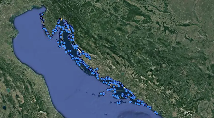
There’s now a new Croatian interactive map which shows sea water quality levels for swimming, what do the marks on it mean?
The available quality ratings are shown with coloured circular symbols on the Croatian interactive map in blue (excellent), green (good), yellow (satisfactory) and red (unsatisfactory), as well as accompanying information (such as air and sea temperatures, salinity, and the direction of the wind). The results are then entered into the database immediately after the end of the analysis. In addition to the assessment of the sea water quality, there is the possibility of getting an insight into the peculiarities of various different beaches, such as their hydrometeorological characteristics, their available beach/swimming equipment and more. Users of this Croatian interactive map also have the possibility of commenting on different beaches, reporting pollution and proposing new ideas.
You can find the new Croatian interactive map here.
For more, make sure to check out our dedicated lifestyle section.