Sunday, 6 September 2020 – Fafarikula from Zadar creates beautiful bespoke 3D Maps of Croatia, its islands, the Adriatic, and the world. Made from wood, they’re the perfect souvenir to take from the coast
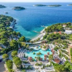
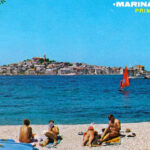
A stay on the Croatian coast is full of one-off experiences. Each island is unique, every wine and sunset is different. The same cannot be said for some of the mass-produced souvenirs available.
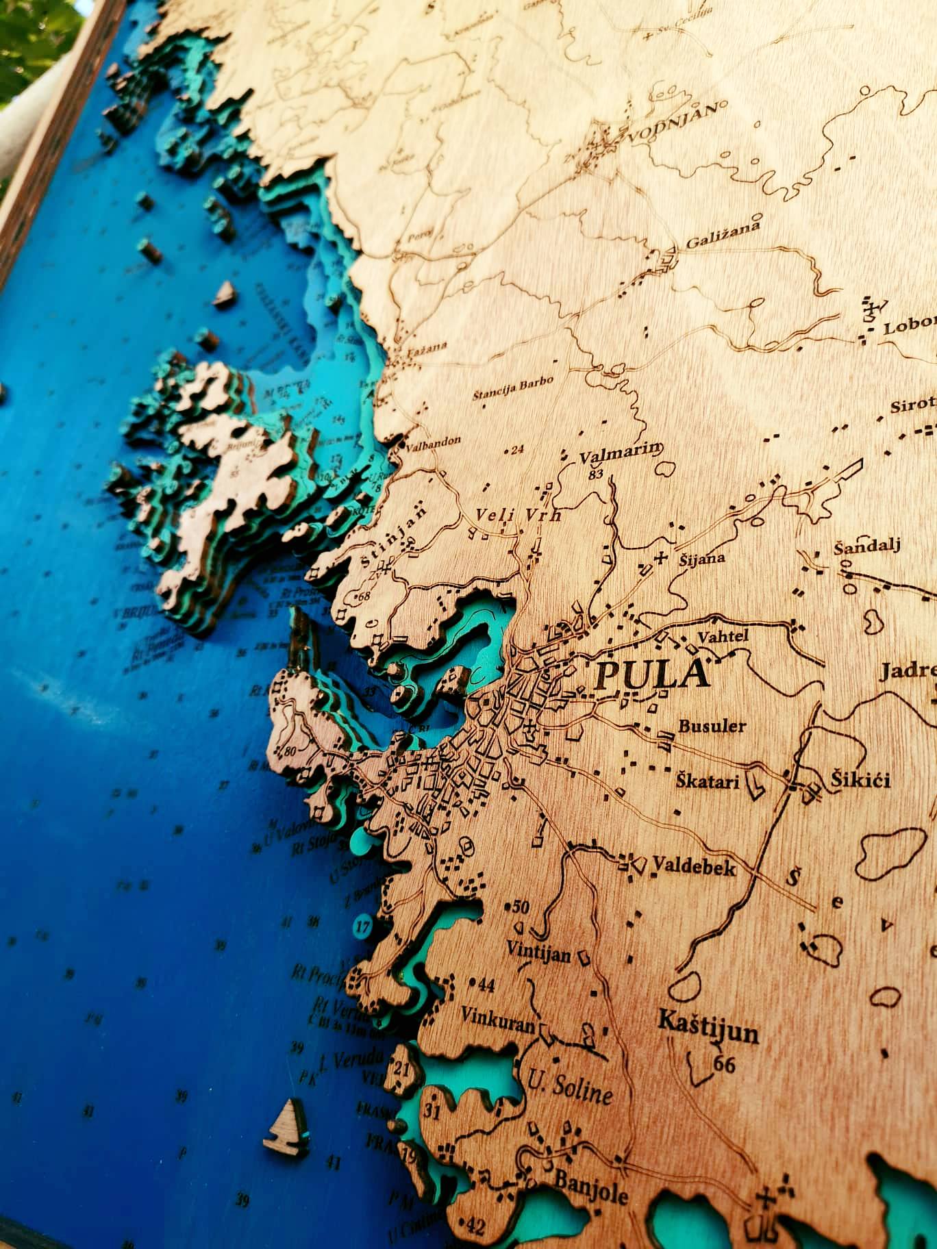
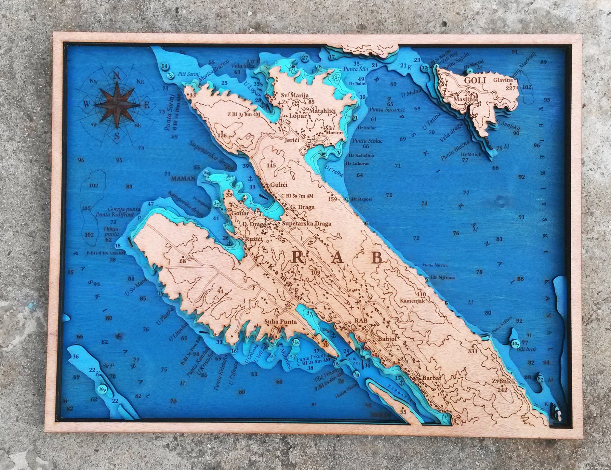
But, one small Zadar company has created a wonderful alternative to plastic keyrings and ill-fitting slogan t-shirts. Fafarikula makes beautiful 3D maps of Croatia, its islands, and the Adriatic. Made from wood and available to order, they can hang in your home and remind you every day of your trip to the Croatian sea.
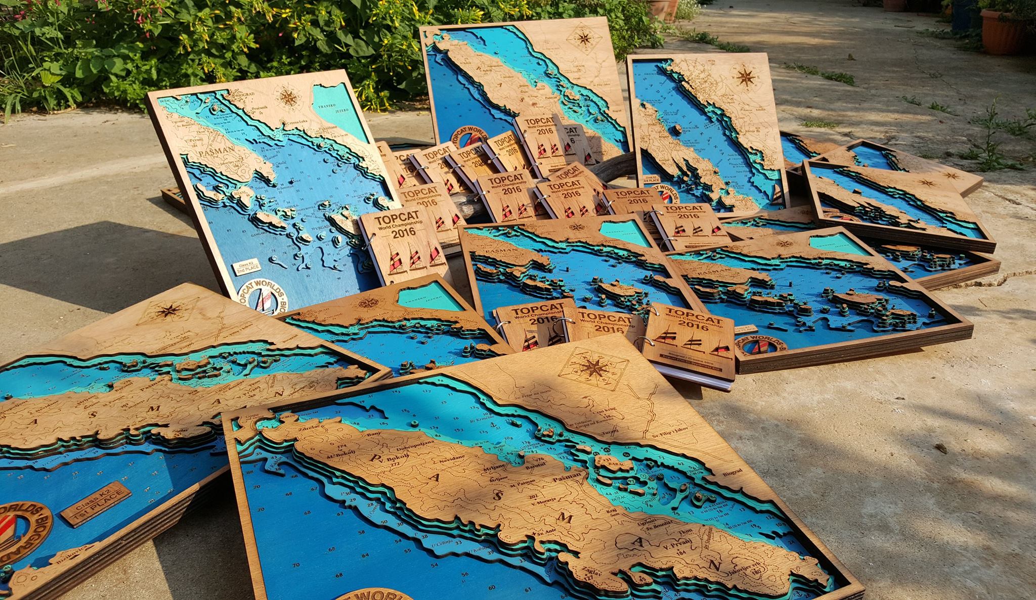
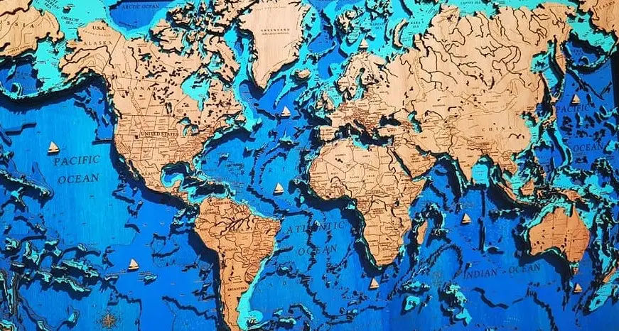
The 3D maps of Croatia are made using a laser cutter and depict an accurate representation of shorelines and sea depths. Five layers of wood are used in their construction, then fixed atop one another.
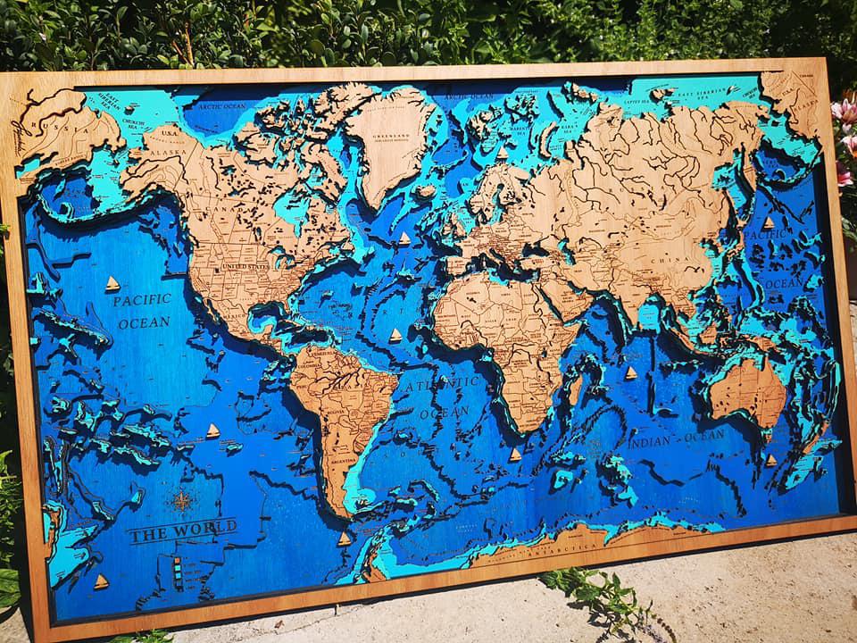
Ida Šimunov and Marko Rihelj are the couple behind the 3D maps of Croatia. They founded their quality souvenir company, Fafarikula five years ago. They have a range of maps already available, but if you’ve fallen in love with one particular destination, they can make a bespoke map just for you. In addition to the 3D maps of Croatia, the company has recently produced maps of the Mediterranean and the whole world. They also make wood-bound notebooks, pendants, and a huge variety of fridge magnets.
Though a relatively new option for visitors, these 3D maps of Croatia come from a long line of map-making. Maps are one of the oldest things that humans attempted to paint. The earliest archaeological maps include cave paintings and ancient maps of Babylon, Greece, China, and India. However, the earliest known maps are of the stars, not the earth. Images dating to 14,500 BC found on the walls of the Lascaux caves in Dordogne, southwestern France map out part of the night sky, including three stars – Vega, Deneb, and Altair – as well as the Pleiades star cluster. The Cave of El Castillo in Spain holds a wall map dating from 12,000 BC of the Corona Borealis constellation.
A map-like representation of a mountain, river, valleys, and routes around Pavlov in the Czech Republic, carved on the tusk of a woolly mammoth, has been dated to 25,000 BC, making it possibly the oldest known map of all time. The word map comes from the medieval Latin ‘Mappa mundi’ with mappa meaning napkin or cloth and mundi meaning the world.
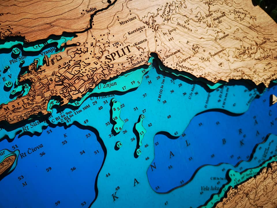
All photos © Fafarikula
For the latest travel info, bookmark our main travel info article, which is updated daily.
Read the Croatian Travel Update in your language – now available in 24 languages
Join the Total Croatia Travel INFO Viber community.