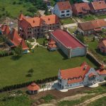
Mapping prepared on the basis of satelite images provided by the European Space Agency show that the devastating quake caused shifts of soil with an amplitude of up to 70 centimetres. The biggest shift was registered in the forest area near the settlements of Slana, Glinska Poljana and Gora, says Jutarnji.
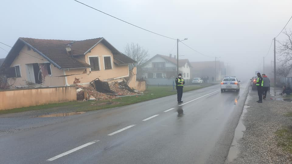
Researcher Marin Govorcin, a professor of the Zagreb-based Faculty of Geodesy, was quoted as saying that Sisak has shifted with less intensity than Petrinja.
“Preliminary, Sisak shifted by 10 centimetres and Petrinja between 15 and 20 centimetres,” he said.
A team of researchers is now in the region hit by the quake and they have not yet detected any first-tier effects such as surface ruptures on the fault line.
Seismology expert Josip Stipcevic was quoted as saying that if they find any surface rupture this could help them to assess where the fault line is and other features of the fault-line concerned.
The newspaper recalls that the earthquake occurred in a fault-line in the direction from northwest to southeast and passing through the Pokuplje region near Petrinja and Glina and that fault-line is between two different tectonic blocks: Dinarides and Pannonian basin.
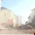
For more on the Petrinja earthquake and to see how you can donate money, food, humanitarian, sanitary, and material aid, follow our dedicated section.