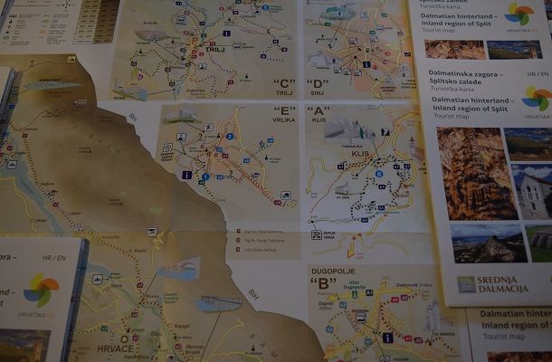
The Tourist Boards of Dugopolje and Klis, along with the Tourist Boards of Sinj, Trilj and Vrlika, and with the support of the Croatian Tourist Board, have drawn up a detailed tourist map of the entire area of the Dalmatian hinterland and the inland region of Split.
Thus, the new tourist map showcases numerous attractions, cultural and historical heritage, existing tourism infrastructures, significant landscapes, cycling, hiking, mountaineering, horse and wine routes, and the paths of Our Lady of Sinj.
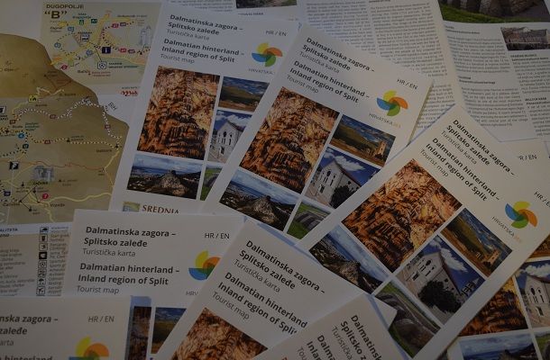
This new map is truly complete, detailed, transparent and helpful to all who want to discover and explore the Dalmatian hinterland, along with its natural and cultural resources. The map is printed in both the Croatian and English language.
This tourist map seeks to encourage and develop the interest of visitors, providing valid information on locations, while making it easy to explore all that the hinterland offers.
The map is titled ‘Dalmatian hinterland – Inland region of Split’ and is available at the tourist offices. The map will also be promoted and distributed through fairs, in hotels, restaurants and TIC.