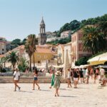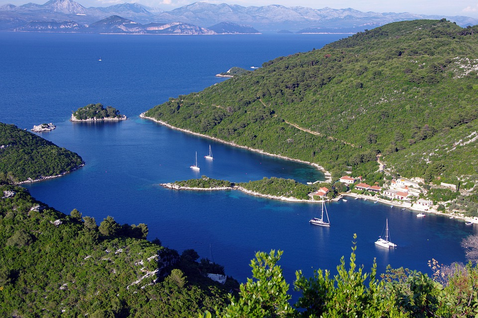
As Ljubica Vuko/Novac writes, riding along a picturesque eleven-kilometre-long bike path around the lakes, sailing on solar-powered catamarans while taking a panoramic ride, hiking and mountaineering along roads and recreational trails are just some of the ways to get better acquainted with the gorgeous Mljet National Park and enjoy the natural beauty of this area. Mljet National Park is the first Croatian national park ”at sea” and is also the oldest marine protected area in the entire Mediterranean.
In line with the aim of protecting nature and sensitive ecosystems, NP Mljet has replaced its old diesel-powered boats with three solar-powered electric boats over the past few years, which take care of all of the transport of visitors across the lakes. Their purchase was co-financed in the amount of 80 percent by the Fund for Environmental Protection and Energy Efficiency, and thanks to EU grants allocated to them for a project aimed at improving the visitor infrastructure, enriching the quality and number of tourist, educational and recreational facilities of the park.
Among other things, a lookout on the top of Montokuc was constructed, a car park on Vrbovica was created, a presentation centre was constructed, and promenades and hiking trails were set up. And that’s not all, there are even more activities within this EU project.
”We also renovated the road around the lake, which was in a very poor condition. It’s now an ideal 11 km long bike path,” said Ivan Srsen. Digital solutions that facilitate work in the national park, but also provide visitors with more opportunities, are also important in improving the visitor infrastructure.
Srsen added that ticket sales have now also been fully digitised, so that it can be known how many visitors are at a specific location at any given time. ”It’s important for us to know that some locations may become overloaded. We digitised the sales process a few years ago, and now we’re perfecting it by doing a visitor management study. The results of the study will show how many visitors there may be at any given time in individual locations. So, we’ll regulate their numbers if necessary,” explained the director.
Visitors to the Mljet National Park usually come in group visits, but a large number of visitors come in their own organisation, as such, they devised a new project to give visitors ideas for tours and to make it easier for them to move around.
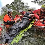
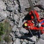
”This year, in cooperation with HGSS, we’ve created several recreational routes, and created Mljet National Park digital maps that will be available on the web application, which we plan to release at the end of September. For example, when you come to Pomena, you’ll have a map of the national park and you’ll see a route you can go around. Here you have a QR code that you scan and by navigating on your mobile phone you follow the route you’ve chosen,” said Ivan Srsen.
There is also a shorter description of the trail on the brand new Mljet National Park digital map, such as the Pomena-Polace recreational trail which is 5 km long. Making sure your phone has enough battery power is necessary, and as some parts of NP Mljet don’t have a mobile signal, users will need to make sure they scan the QR codes when in areas which are covered by mobile signal.
For more, make sure to check out our dedicated lifestyle section.
Subscribe to our newsletter
the fields marked with * are requiredRelated posts:
 Croatian Mountain Rescue Service Book Presented by Ivo Pilar Social Research Institute in Gospić
 New International Award for Croatian Mountain Rescue Service
 Mountain Rescue Asks Tourists not to Hunt Pokemon on Biokovo and Velebit Mountains
 Croatian Mountain Rescue Service Proves Its Big Heart Once Again